|
|
Weather Alert |
| Washington County, OH | |||||||||
|
|
||||||||
|
Canceled 4/19/25 7:45 PM Severe Thunderstorm Warning issued April 19 at 7:36PM EDT until April 19 at 7:45PM EDT by NWS Charleston WV At 735 PM EDT, a severe thunderstorm was located near St. Marys, moving east at 65 mph. HAZARD...60 mph wind gusts and penny size hail. SOURCE...Radar indicated. IMPACT...Expect damage to roofs, siding, and trees. Locations impacted include... Newport, Greenwood, Willow Island, Belmont, Nutter Farm, Maxwell, Schultz, Arvilla, Point Lookout, Wick, Mountain, Pennsboro, Hebron, Pike, St. Marys, Highland, Middlebourne, Ellenboro, and North Bend State Park. 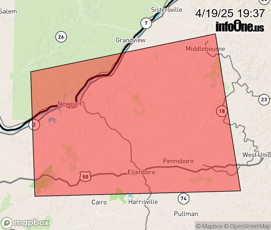 |
|||||||||
 Why aren't you using the InfoOne app? Why aren't you using the InfoOne app?
Stay abreast of information affecting your community! InfoOne tracks real-time information such as:
InfoOne currently supports over 100 communities in NC, VA and WV, and our coverage area is steadily growing. It's free! Install the InfoOne app today and see what you've been missing. |
|||||||||