|
|
Weather Alert |
| Putnam County, WV | |||||||||
|
|
||||||||
|
Canceled 6/13/21 6:58 PM Severe Thunderstorm Warning issued June 13 at 6:36PM EDT until June 13 at 7:15PM EDT by NWS Charleston WV The National Weather Service in Charleston West Virginia has issued a * Severe Thunderstorm Warning for... West central Kanawha County in central West Virginia... Southwestern Putnam County in western West Virginia... Lincoln County in central West Virginia... Northern Logan County in southern West Virginia... Boone County in central West Virginia... * Until 715 PM EDT. * At 635 PM EDT, severe thunderstorms were located along a line extending from near Hurricane to near Spurlockville to near Harts, moving east at 30 mph. HAZARD...60 mph wind gusts and quarter size hail. SOURCE...Radar indicated. IMPACT...Hail damage to vehicles is expected. Expect wind damage to roofs, siding, and trees. * Locations impacted include... Charleston, Nitro, Madison, Jefferson, South Charleston, St. Albans, Dunbar, Chapmanville, Van, Spurlockville, Institute, Tornado, Harts, Gill, Amherstdale-Robinette, Alum Creek, Julian, Wharton, Danville and Mitchell Heights. This includes the following highways... Interstate 77 in West Virginia between mile markers 98 and 102. Interstate 64 in West Virginia between mile markers 51 and 57. Route 119 between mile markers 32 and 80. 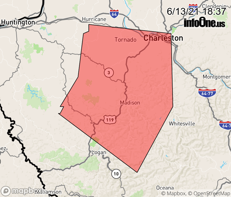 |
|||||||||
 Why aren't you using the InfoOne app? Why aren't you using the InfoOne app?
Stay abreast of information affecting your community! InfoOne tracks real-time information such as:
InfoOne currently supports over 100 communities in NC, VA and WV, and our coverage area is steadily growing. It's free! Install the InfoOne app today and see what you've been missing. |
|||||||||