|
|
Weather Alert |
| Kanawha County, WV | |||||||||
|
|
||||||||
|
Canceled 5/16/25 11:58 PM Severe Thunderstorm Warning issued May 16 at 11:45PM EDT until May 17 at 12:15AM EDT by NWS Charleston WV SVRRLX The National Weather Service in Charleston West Virginia has issued a * Severe Thunderstorm Warning for... Northwestern Mingo County in southern West Virginia... Southwestern Putnam County in western West Virginia... West central Kanawha County in central West Virginia... Lincoln County in central West Virginia... Northwestern Logan County in southern West Virginia... Southeastern Wayne County in western West Virginia... Boone County in central West Virginia... * Until 1215 AM EDT. * At 1144 PM EDT, severe thunderstorms were located along a line extending from near Kiahsville to 7 miles northeast of Oppy, moving east at 55 mph. HAZARD...60 mph wind gusts and penny size hail. SOURCE...Radar indicated. IMPACT...Expect damage to roofs, siding, and trees. * Locations impacted include... Charleston, Madison, Logan, Hamlin, Jefferson, South Charleston, St. Albans, Dunbar, Chapmanville, Van, Ranger, Mount Gay-Shamrock, Harts, Gill, East Lynn Lake, Julian, Spurlockville, Institute, Tornado, and Bald Knob. This includes the following highways... Interstate 77 in West Virginia mile marker 101 and near mile marker 106. Interstate 64 in West Virginia between mile markers 50 and 57. Route 119 between mile markers 22 and 80. 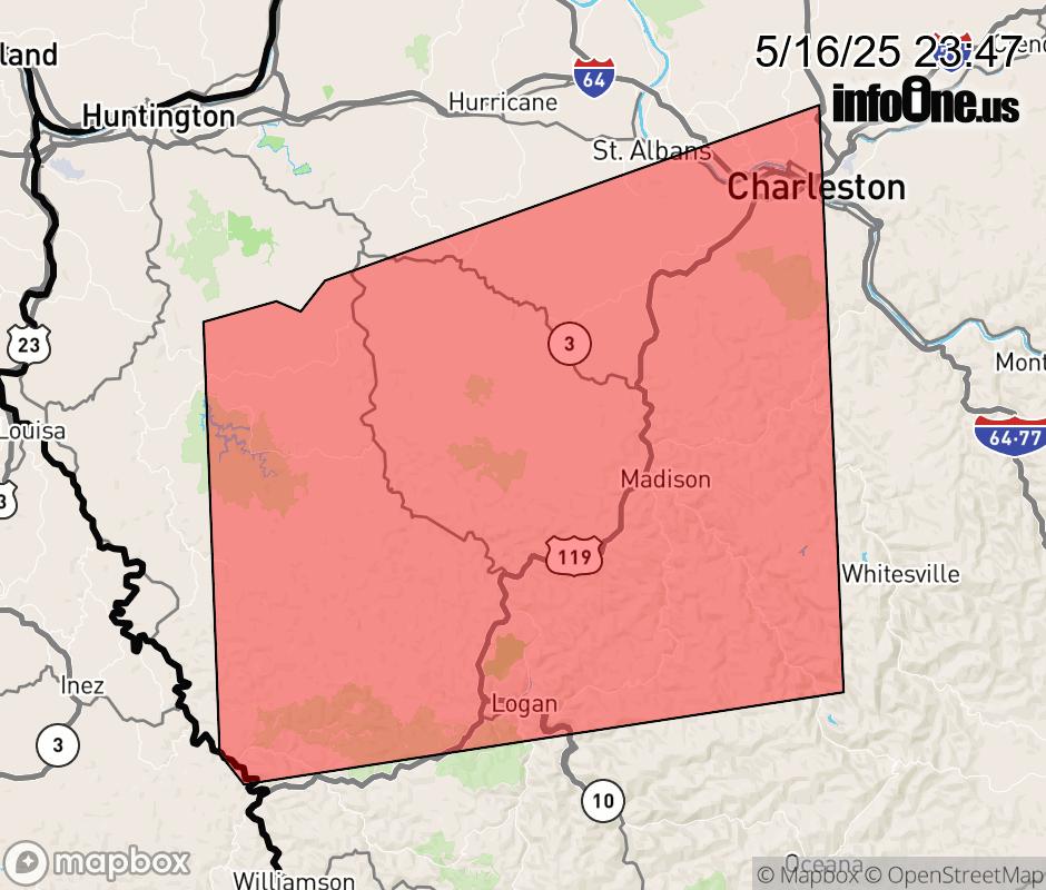 |
|||||||||
 Why aren't you using the InfoOne app? Why aren't you using the InfoOne app?
Stay abreast of information affecting your community! InfoOne tracks real-time information such as:
InfoOne currently supports over 100 communities in NC, VA and WV, and our coverage area is steadily growing. It's free! Install the InfoOne app today and see what you've been missing. |
|||||||||