|
|
Weather Alert |
| Wayne County, WV | |||||||||
|
|
||||||||
|
Canceled 2/17/25 6:28 AM Flood Warning issued February 16 at 6:18PM EST until February 17 at 10:29PM EST by NWS Charleston WV ...The Flood Warning continues for the following rivers in Kentucky...West Virginia... Tug Fork River at Kermit affecting Mingo, Wayne and Martin Counties. For the Tug Fork River...Major flooding is forecast. * WHAT... Major flooding is occurring and major flooding is forecast. * WHERE... Tug Fork River at Kermit. * WHEN... Until late tomorrow evening. * IMPACTS... At 51.0 feet, Commercial district near the river just south of the Virginia Avenue bridge floods. In Warfield, much of the business district floods. * ADDITIONAL DETAILS... - At 6:00 PM EST Sunday the stage was 49.7 feet. - Recent Activity...The maximum river stage in the 24 hours ending at 6:00 PM EST Sunday was 49.7 feet. - Forecast...The river is expected to rise to a crest of 51.0 feet just after midnight tonight. It will then fall below flood stage tomorrow afternoon. - Flood stage is 38.0 feet. - Flood History...This crest compares to a previous crest of 49.0 feet on 05/08/1984. - http://www.weather.gov/safety/flood 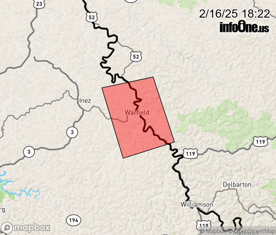 |
|||||||||
 Why aren't you using the InfoOne app? Why aren't you using the InfoOne app?
Stay abreast of information affecting your community! InfoOne tracks real-time information such as:
InfoOne currently supports over 100 communities in NC, VA and WV, and our coverage area is steadily growing. It's free! Install the InfoOne app today and see what you've been missing. |
|||||||||