|
|
Weather Alert |
| El Paso County, CO | |||||||||
|
|
||||||||
|
Canceled 1/11/25 4:00 PM Special Weather Statement issued January 11 at 1:58PM MST by NWS Pueblo CO A locally intense snow band will continue across southern El Paso and northern Pueblo counties through 300 PM before shifting southeastward into the southern I-25 corridor. Snowfall rates of 1 to 2 inches per hour will cause rapidly deteriorating conditions over short distances with poor visibility in heavy snow, and quickly accumulating snow on cold surfaces. Side streets and bridges will be the first to see accumulating snow and could become slick and snowpacked, however persistent snowfall over I-25 south of Colorado Springs could also quickly become slushy and snow covered at times. Please use extra caution if you are traveling. Increase following distances and be prepared for winter driving conditions. Accumulations of 1 to 3 inches will be possible, however locally higher amounts could occur on colder surfaces. 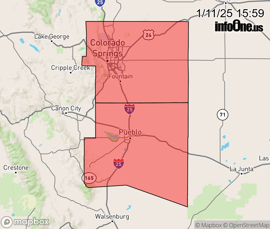 |
|||||||||
 Why aren't you using the InfoOne app? Why aren't you using the InfoOne app?
Stay abreast of information affecting your community! InfoOne tracks real-time information such as:
InfoOne currently supports over 100 communities in NC, VA and WV, and our coverage area is steadily growing. It's free! Install the InfoOne app today and see what you've been missing. |
|||||||||