|
|
Weather Alert |
| Yancey County, NC | |||||||||
|
|
||||||||
|
Canceled 3/20/25 3:00 PM Special Weather Statement issued March 20 at 4:48AM EDT by NWS Greenville-Spartanburg SC Northwest flow moisture will develop behind a departing cold front this afternoon into tonight across the western North Carolina mountains. With colder air filtering in behind the front, temperatures will gradually fall near or below freezing this afternoon into this evening. This will allow rain showers to gradually transition to snow showers. Snowfall totals from 1-3 inches will be mainly confined to elevations above 3500 ft, although half an inch to an inch of snow should fall in the valleys along/near the NC/TN border. The highest snowfall amounts are expected to fall across the Smokies, with 4-6 inches expected. Locally higher amounts will be possible, especially above 4,000 ft. Some light snow or flurries may spill into northern Jackson County, southern Haywood County, and southern Buncombe County this evening. However, no accumulations are expected. Snow should taper off prior to daybreak Friday. Additionally, gusty northwest winds will develop behind the front ranging from 35-45 mph today, increasing to 45-50 mph this evening into late tonight. A Wind Advisory is in effect for the North Carolina mountains from 8pm this evening through 8am Friday. Plan on slippery road conditions. Slow down and use caution while driving as snow will impact the evening commute. 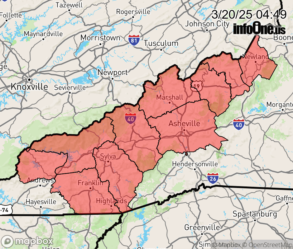 |
|||||||||
 Why aren't you using the InfoOne app? Why aren't you using the InfoOne app?
Stay abreast of information affecting your community! InfoOne tracks real-time information such as:
InfoOne currently supports over 100 communities in NC, VA and WV, and our coverage area is steadily growing. It's free! Install the InfoOne app today and see what you've been missing. |
|||||||||