|
|
Weather Alert |
| Clay County, WV | |||||||||
|
|
||||||||
|
Canceled 6/10/26 9:45 AM Special Weather Statement issued June 10 at 8:13AM EDT by NWS Charleston WV At 809 AM EDT, Doppler radar was tracking a cluster of strong thunderstorms procuding heavy rain along a line extending from southwest of Gallipolis to Nitro. Movement was southeast at 30 mph. HAZARD...A quick 1 to 2 inches of rain. SOURCE...Radar indicated. IMPACT...Flooding of poor drainage and low-lying areas along with reduced visibility. The morning commute will be impacted. Locations impacted include... Charleston, Clay, South Charleston, Dunbar, Sissonville, Montgomery, Chesapeake, Marmet, Ansted, Belle, Clendenin, Cedar Grove, East Bank, Glasgow, Smithers, Gauley Bridge, Pratt, Pinch, Powellton, and Glen. This includes the following highways... Interstate 79 between mile markers 1 and 34. Interstate 77 in West Virginia between mile markers 96 and 113. Interstate 64 in West Virginia between mile markers 53 and 57. 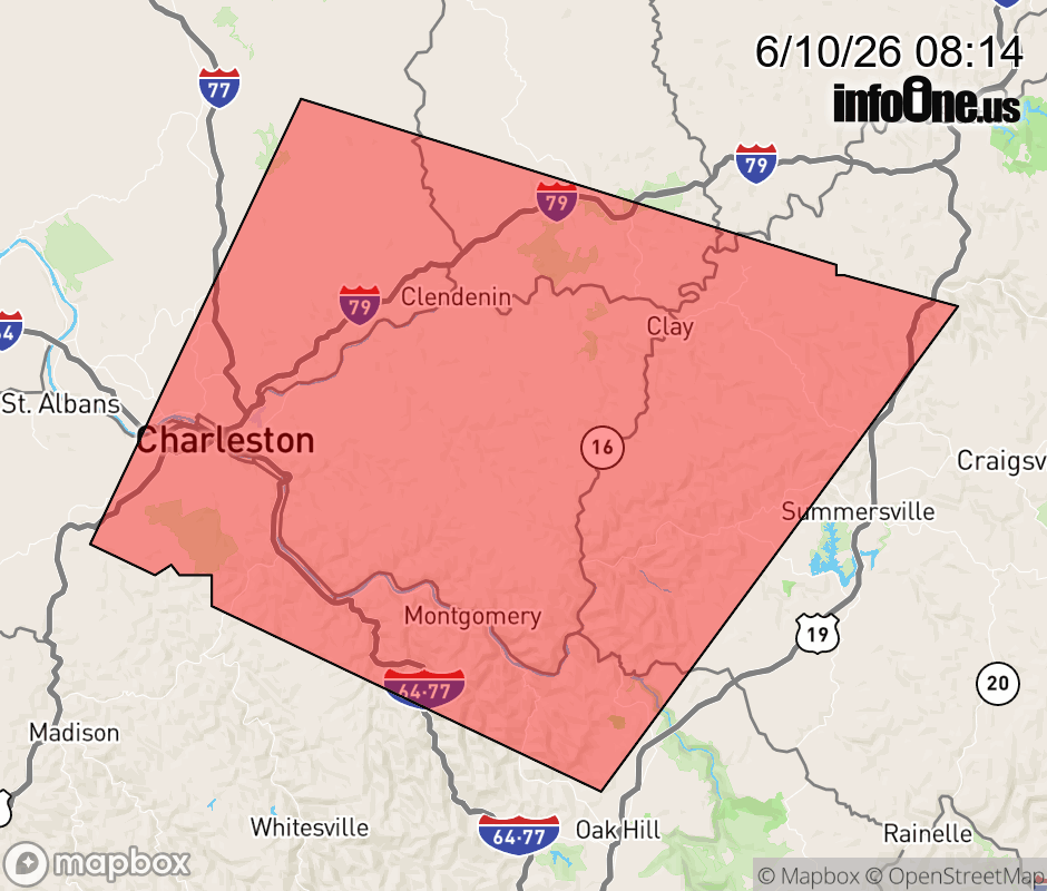 |
|||||||||
 Why aren't you using the InfoOne app? Why aren't you using the InfoOne app?
Stay abreast of information affecting your community! InfoOne tracks real-time information such as:
InfoOne currently supports over 100 communities in NC, VA and WV, and our coverage area is steadily growing. It's free! Install the InfoOne app today and see what you've been missing. |
|||||||||