|
|
Weather Alert |
| Boone County, WV | |||||||||
|
|
||||||||
|
Canceled 5/13/25 4:00 PM Special Weather Statement issued May 13 at 3:42PM EDT by NWS Charleston WV At 342 PM EDT, Doppler radar was tracking a strong thunderstorm near Van, or near Madison, moving north at 20 mph. HAZARD...Pea size hail. SOURCE...Radar indicated. IMPACT...Minor hail damage to vegetation is possible. Locations impacted include... Madison, Van, Prenter, Seth, Foster, and Racine. 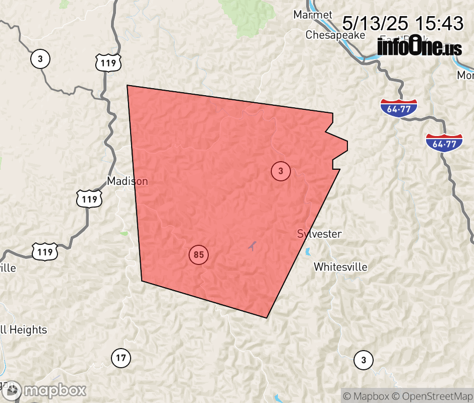 |
|||||||||
 Why aren't you using the InfoOne app? Why aren't you using the InfoOne app?
Stay abreast of information affecting your community! InfoOne tracks real-time information such as:
InfoOne currently supports over 100 communities in NC, VA and WV, and our coverage area is steadily growing. It's free! Install the InfoOne app today and see what you've been missing. |
|||||||||