|
|
Weather Alert |
| Moore County, NC | |||||||||
|
|
||||||||
|
Canceled 3/12/26 12:00 PM Special Weather Statement issued March 12 at 10:57AM EDT by NWS Raleigh NC At 1057 AM EDT, Doppler radar was tracking a strong thunderstorm 7 miles east of Biscoe, or 13 miles east of Troy, moving northeast at 40 mph. HAZARD...Wind gusts up to 50 mph. SOURCE...Radar indicated. IMPACT...Gusty winds could knock down tree limbs and blow around unsecured objects. Locations impacted include... Sanford, Pittsboro, Carthage, Goldston, Whispering Pines, Broadway, Robbins, Vass, Cameron and Lemon Springs. This includes US 1 between Mile Markers 69 and 84. 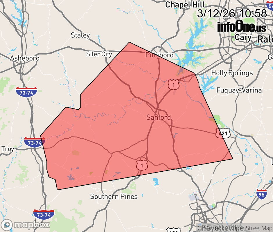 |
|||||||||
 Why aren't you using the InfoOne app? Why aren't you using the InfoOne app?
Stay abreast of information affecting your community! InfoOne tracks real-time information such as:
InfoOne currently supports over 100 communities in NC, VA and WV, and our coverage area is steadily growing. It's free! Install the InfoOne app today and see what you've been missing. |
|||||||||