|
|
Weather Alert |
| Hardy County, WV | |||||||||
|
|
||||||||
|
Canceled 5/14/25 12:28 AM Flood Watch issued May 13 at 9:26PM EDT by NWS Baltimore MD/Washington DC ...The Flood Watch continues for the following rivers in West Virginia... South Branch Potomac River near Springfield affecting Hardy and Hampshire Counties. * WHAT... Flooding is possible. * WHERE... South Branch Potomac River near Springfield. * WHEN... Until further notice. * IMPACTS... At 15.0 feet, Milleson Mill Road (County Route 28/5) and Clarence Taylor Road (Route 3/7) begin to flood. Water covers a significant portion of meadowlands near the river. The boat launch ramp on the upstream right abutment of the bridge also floods. * ADDITIONAL DETAILS... - At 8:30 PM EDT Tuesday the stage was 4.6 feet, or 10.4 feet below flood stage. - Forecast...Flood stage may be reached based on the latest forecast information. - Flood stage is 15.0 feet. - Please visit www.weather.gov/safety/flood for flood safety and preparedness information 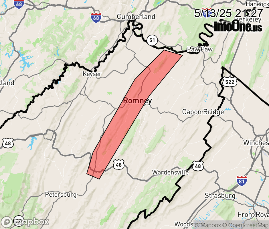 |
|||||||||
 Why aren't you using the InfoOne app? Why aren't you using the InfoOne app?
Stay abreast of information affecting your community! InfoOne tracks real-time information such as:
InfoOne currently supports over 100 communities in NC, VA and WV, and our coverage area is steadily growing. It's free! Install the InfoOne app today and see what you've been missing. |
|||||||||