|
|
Weather Alert |
| Clay County, WV | |||||||||
|
|
||||||||
|
Canceled 11/16/25 12:39 AM Severe Thunderstorm Warning issued November 16 at 12:34AM EST until November 16 at 12:45AM EST by NWS Charleston WV At 1234 AM EST, a severe thunderstorm was located near Smithers, or 16 miles southwest of Clay, moving southeast at 40 mph. HAZARD...60 mph wind gusts. SOURCE...Radar indicated. IMPACT...Expect damage to roofs, siding, and trees. Locations impacted include... Montgomery, Ansted, Cedar Grove, Smithers, Gauley Bridge, Pratt, Hawks Nest State Park, Powellton, Handley, Swiss, Indore, Bentree, Drennan, and Pond Gap. 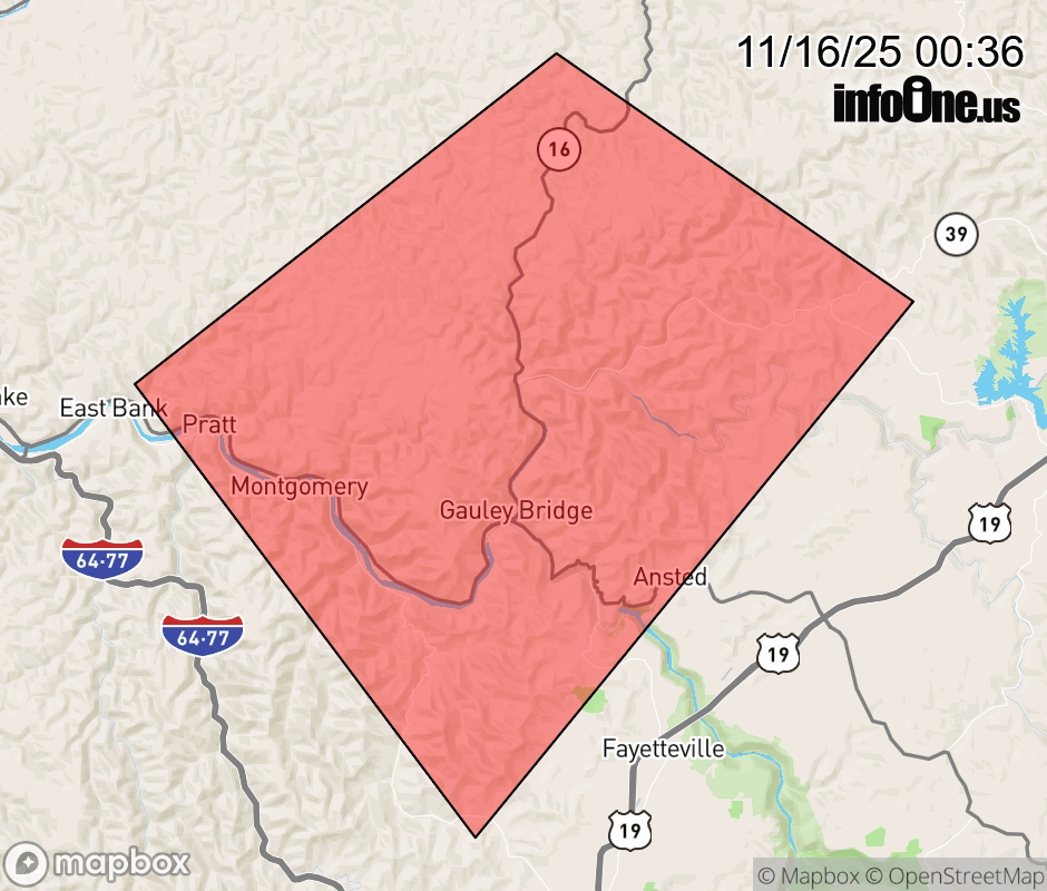 |
|||||||||
 Why aren't you using the InfoOne app? Why aren't you using the InfoOne app?
Stay abreast of information affecting your community! InfoOne tracks real-time information such as:
InfoOne currently supports over 100 communities in NC, VA and WV, and our coverage area is steadily growing. It's free! Install the InfoOne app today and see what you've been missing. |
|||||||||