|
|
Weather Alert |
| Boone County, WV | |||||||||
|
|
||||||||
|
Canceled 3/16/25 11:15 AM Severe Thunderstorm Warning issued March 16 at 10:52AM EDT until March 16 at 11:15AM EDT by NWS Charleston WV At 1052 AM EDT, severe thunderstorms were located along a line extending from 9 miles southwest of Spencer to near Coal Fork to near Madison, moving east at 35 mph. HAZARD...60 mph wind gusts. SOURCE...Radar indicated. IMPACT...Expect damage to roofs, siding, and trees. Locations impacted include... Charleston, Seth, Madison, Pinch, Turtle Creek, Prenter, Ashford, Kentuck, South Charleston, Coal Fork, Elkview, Racine, Sissonville, Clendenin, Harmony, Walton, Marmet, Chesapeake, Danville, and Foster. 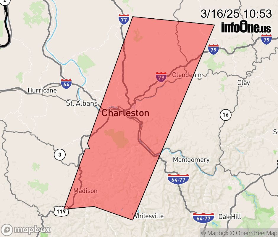 |
|||||||||
 Why aren't you using the InfoOne app? Why aren't you using the InfoOne app?
Stay abreast of information affecting your community! InfoOne tracks real-time information such as:
InfoOne currently supports over 100 communities in NC, VA and WV, and our coverage area is steadily growing. It's free! Install the InfoOne app today and see what you've been missing. |
|||||||||