|
|
Weather Alert |
| Boone County, WV | |||||||||
|
|
||||||||
|
Canceled 6/12/26 3:01 PM Severe Thunderstorm Warning issued June 12 at 2:50PM EDT until June 12 at 3:15PM EDT by NWS Charleston WV At 250 PM EDT, a severe thunderstorm was located near Chesapeake, or 14 miles south of Charleston, moving southeast at 15 mph. HAZARD...60 mph wind gusts and quarter size hail. SOURCE...Radar indicated. IMPACT...Hail damage to vehicles is expected. Expect wind damage to roofs, siding, and trees. Locations impacted include... Charleston, South Charleston, Montgomery, Chesapeake, Marmet, Belle, Cedar Grove, East Bank, Glasgow, Smithers, Pratt, Coal Fork, Julian, Alum Creek, Powellton, Handley, Seth, Dawes, Sod, and Ashford. 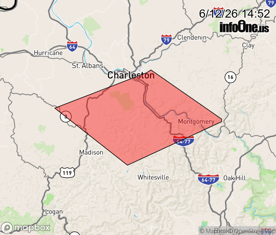 |
|||||||||
 Why aren't you using the InfoOne app? Why aren't you using the InfoOne app?
Stay abreast of information affecting your community! InfoOne tracks real-time information such as:
InfoOne currently supports over 100 communities in NC, VA and WV, and our coverage area is steadily growing. It's free! Install the InfoOne app today and see what you've been missing. |
|||||||||