|
|
Weather Alert |
| Boone County, WV | |||||||||
|
|
||||||||
|
Canceled 2/16/25 11:15 AM Severe Thunderstorm Warning issued February 16 at 10:44AM EST until February 16 at 11:15AM EST by NWS Charleston WV At 1042 AM EST, severe thunderstorms were located along a line extending from Chief Logan State to near Hurley, moving east at 45 mph. HAZARD...60 mph wind gusts. SOURCE...Radar indicated. IMPACT...Expect damage to roofs, siding, and trees. Locations impacted include... Davy, Hanover, Mount Gay, Chauncey, R.d. Bailey Lake, Gilbert, Coal Mountain, Gilbert Creek, Bruno, Mount Gay-Shamrock, Hurley, Wolf Pen, Sarah Ann, Meador, Bald Knob, Iaeger, Chief Logan State, Clear Fork, Verdunville, and Holden. 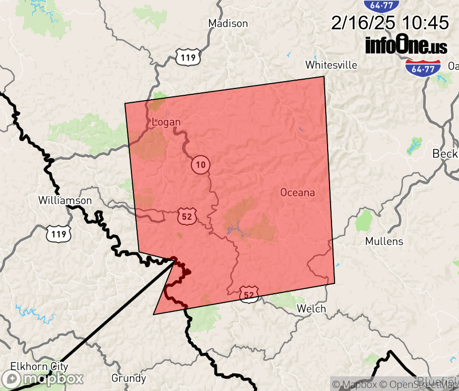 |
|||||||||
 Why aren't you using the InfoOne app? Why aren't you using the InfoOne app?
Stay abreast of information affecting your community! InfoOne tracks real-time information such as:
InfoOne currently supports over 100 communities in NC, VA and WV, and our coverage area is steadily growing. It's free! Install the InfoOne app today and see what you've been missing. |
|||||||||