|
|
Weather Alert |
| Doddridge County, WV | |||||||||
|
|
||||||||
|
Canceled 6/14/21 8:45 PM Special Weather Statement issued June 14 at 8:20PM EDT by NWS Charleston WV At 820 PM EDT, a strong thunderstorm was located 8 miles west of Jackson Mill, or 8 miles west of Weston, moving east at 25 mph. Wind gusts up to 50 mph are possible with this storm. Locations impacted include... Weston, Stonewall Jackson, Jackson Mill, Jane Lew, Camden, Baldwin, Sand Run, Avon, Leopold, Troy, Alum Bridge, Coxs Mills, Linn and Horner. This includes the following highways... Interstate 79 between mile markers 83 and 108. Route 33 between mile markers 1 and 3. Torrential rainfall is also occurring with this storm, and may cause localized flooding. Do not drive your vehicle through flooded roadways. Frequent cloud to ground lightning is occurring with this storm. Lightning can strike 10 miles away from a thunderstorm. Seek a safe shelter inside a building or vehicle. This storm may intensify, so be certain to monitor local radio stations and available television stations for additional information and possible warnings from the National Weather Service. 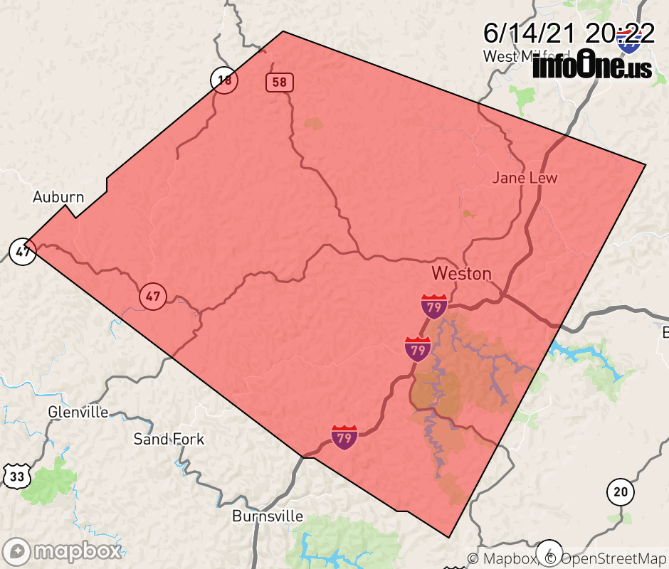 |
|||||||||
 Why aren't you using the InfoOne app? Why aren't you using the InfoOne app?
Stay abreast of information affecting your community! InfoOne tracks real-time information such as:
InfoOne currently supports over 100 communities in NC, VA and WV, and our coverage area is steadily growing. It's free! Install the InfoOne app today and see what you've been missing. |
|||||||||