|
|
Weather Alert |
| Franklin County, OH | |||||||||
|
|
||||||||
|
Canceled 5/14/22 5:45 PM Special Weather Statement issued May 14 at 5:18PM EDT by NWS Wilmington OH At 518 PM EDT, a strong thunderstorm was located over Upper Arlington, moving southeast at 20 mph. HAZARD...Wind gusts up to 40 mph, pea size hail, frequent cloud-to-ground lightning, and very heavy rain. SOURCE...Radar indicated. IMPACT...Gusty winds could knock down tree limbs and blow around unsecured objects. Hail may cause minor damage to outdoor objects. Lightning can cause serious injury or death. Visibility will be poor and hydroplaning is possible. Locations impacted include... Columbus, Reynoldsburg, Grove City, Upper Arlington, Gahanna, Hilliard, Worthington, Bexley, Canal Winchester, Groveport, Ohio State University, Easton, Whitehall, Grandview Heights, Obetz, Urbancrest, Valleyview, Marble Cliff, Riverlea and Brice. This includes the following Interstates... I-70 in Ohio between mile markers 91 and 111. I-71 in Ohio between mile markers 101 and 117. 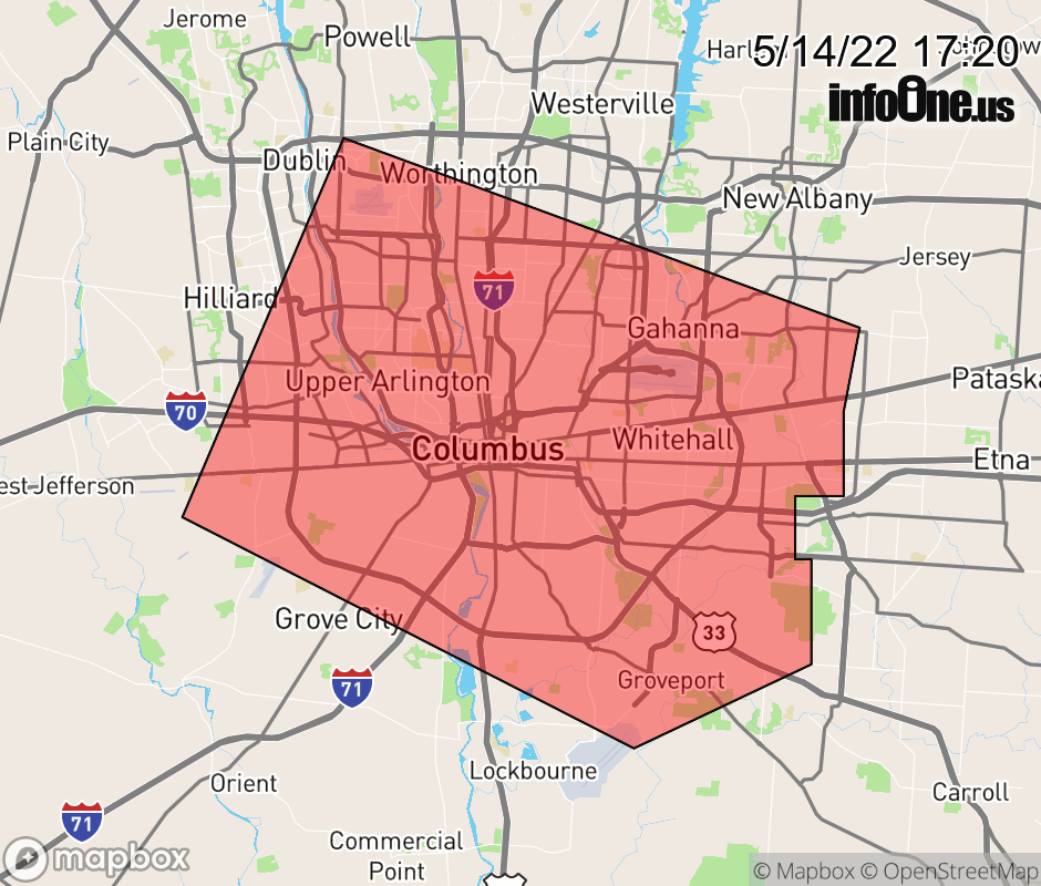 |
|||||||||
 Why aren't you using the InfoOne app? Why aren't you using the InfoOne app?
Stay abreast of information affecting your community! InfoOne tracks real-time information such as:
InfoOne currently supports over 100 communities in NC, VA and WV, and our coverage area is steadily growing. It's free! Install the InfoOne app today and see what you've been missing. |
|||||||||