|
|
Weather Alert |
| Clarke County, VA | |||||||||
|
|
||||||||
|
Canceled 5/15/25 4:19 PM Flood Warning issued May 15 at 10:37AM EDT until May 16 at 11:45PM EDT by NWS Baltimore MD/Washington DC ...The Flood Warning is extended for the following rivers in Maryland...Virginia...West Virginia... Potomac River at Little Falls affecting Montgomery and Fairfax Counties. Potomac River at Hancock affecting Washington and Morgan Counties. Potomac River at Harpers Ferry affecting Washington and Jefferson Counties. Potomac River at Edwards Ferry affecting Loudoun and Montgomery Counties. Potomac River at Point of Rocks affecting Loudoun and Frederick Counties. Shenandoah River at Millville affecting Jefferson, Warren and Clarke Counties. Conococheague Creek at Fairview affecting Washington County. Cacapon River near Great Cacapon affecting Morgan County. ...The Flood Warning continues for the following rivers in West Virginia...Maryland...Virginia... Potomac River at Shepherdstown affecting Washington, Berkeley and Jefferson Counties. Rappahannock River at Remington affecting Culpeper and Fauquier Counties. ...The Flood Warning is cancelled for the following rivers in Virginia... Rappahannock River at Fredericksburg affecting Stafford, City of Fredericksburg and Spotsylvania independent cities. For the Potomac River...including Paw Paw, Hancock, Shepherdstown, Harpers Ferry, Point of Rocks, Edwards Ferry, Little Falls... Moderate flooding is forecast. For the Shenandoah River...including Millville...Minor flooding is forecast. For the Rappahannock River...including Remington, Fredericksburg, Fredericksburg...Minor flooding is forecast. For the Cacapon River...including Great Cacapon...Minor flooding is forecast. * WHAT... Minor flooding is occurring and minor flooding is forecast. * WHERE... Shenandoah River at Millville. * WHEN... Until late tomorrow evening. * IMPACTS... At 14.0 feet, Several roads along the river in Jefferson and Clarke Counties are flooded and closed. Most of Watermelon Park is flooded, along with a significant portion of the Cool Spring Battlefield property. * ADDITIONAL DETAILS... - At 9:30 AM EDT Thursday the stage was 13.3 feet, or 3.2 feet above flood stage. - Recent Activity...The maximum river stage in the 24 hours ending at 9:30 AM EDT Thursday was 13.3 feet. - Forecast...The river is expected to rise to a crest of 13.3 feet this afternoon. It will then fall below flood stage tomorrow afternoon. - Flood stage is 10.0 feet. - Flood History...This crest compares to a previous crest of 13.4 feet on 05/10/1960. - Please visit www.weather.gov/safety/flood for flood safety and preparedness information 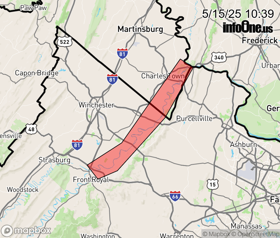 |
|||||||||
 Why aren't you using the InfoOne app? Why aren't you using the InfoOne app?
Stay abreast of information affecting your community! InfoOne tracks real-time information such as:
InfoOne currently supports over 100 communities in NC, VA and WV, and our coverage area is steadily growing. It's free! Install the InfoOne app today and see what you've been missing. |
|||||||||