|
|
Weather Alert |
| Monroe County, OH | |||||||||
|
|
||||||||
|
Canceled 5/19/26 6:45 PM Severe Thunderstorm Warning issued May 19 at 6:33PM EDT until May 19 at 7:00PM EDT by NWS Pittsburgh PA SVRPBZ The National Weather Service in Pittsburgh has issued a * Severe Thunderstorm Warning for... Northwestern Monroe County in east central Ohio... Noble County in east central Ohio... * Until 700 PM EDT. * At 633 PM EDT, a severe thunderstorm was located 6 miles southeast of Caldwell, moving northeast at 20 mph. HAZARD...60 mph wind gusts and small hail. SOURCE...Radar indicated. IMPACT...Expect damage to roofs, siding, and trees. * Locations impacted include... Woodsfield, Caldwell, Dudley, Summerfield, Belle Valley, Lewisville, Sarahsville, Dexter City, Stafford, Batesville, Harriettsville, Miltonsburg, Seneca Lake Park and Wolf Run State Park. 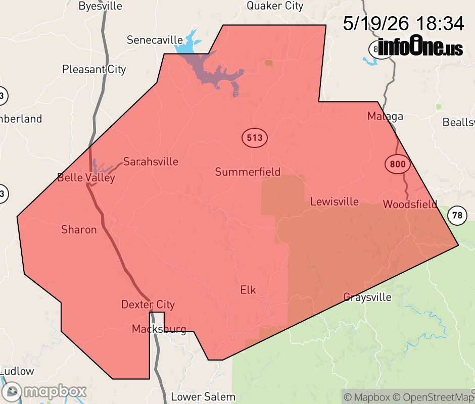 |
|||||||||
 Why aren't you using the InfoOne app? Why aren't you using the InfoOne app?
Stay abreast of information affecting your community! InfoOne tracks real-time information such as:
InfoOne currently supports over 100 communities in NC, VA and WV, and our coverage area is steadily growing. It's free! Install the InfoOne app today and see what you've been missing. |
|||||||||