|
|
Weather Alert |
| Scioto County, OH | |||||||||
|
|
||||||||
|
Canceled 4/19/25 5:54 PM Severe Thunderstorm Warning issued April 19 at 5:35PM EDT until April 19 at 6:15PM EDT by NWS Wilmington OH SVRILN The National Weather Service in Wilmington has issued a * Severe Thunderstorm Warning for... Northern Adams County in south central Ohio... Pike County in south central Ohio... Southeastern Highland County in south central Ohio... Northwestern Scioto County in south central Ohio... Southeastern Ross County in south central Ohio... * Until 615 PM EDT. * At 535 PM EDT, a severe thunderstorm was located over Belfast, moving east at 60 mph. HAZARD...Ping pong ball size hail and 60 mph wind gusts. SOURCE...Radar indicated. IMPACT...People and animals outdoors will be injured. Expect hail damage to roofs, siding, windows, and vehicles. Expect wind damage to trees and power lines. * Locations impacted include... Pike County Airport, Pike Lake, May Hill, Kincaid Springs, Omega, Locust Grove, Givens, Belfast, Seaman, Emerald, Beaver, Lake White, Poplar Grove, Peebles, Sinking Spring, Elm Grove, Serpent Mound, Buchanan, Summithill, and Ladd. 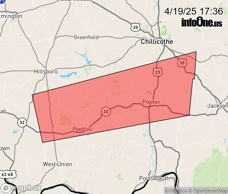 |
|||||||||
 Why aren't you using the InfoOne app? Why aren't you using the InfoOne app?
Stay abreast of information affecting your community! InfoOne tracks real-time information such as:
InfoOne currently supports over 100 communities in NC, VA and WV, and our coverage area is steadily growing. It's free! Install the InfoOne app today and see what you've been missing. |
|||||||||