|
|
Weather Alert |
| Ohio County, WV | |||||||||
|
|
||||||||
|
Canceled 6/14/24 4:00 PM Special Weather Statement issued June 14 at 3:28PM EDT by NWS Pittsburgh PA At 328 PM EDT, Doppler radar was tracking line of strong thunderstorms along a line from over Shadyside to 7 miles northwest of Barnesville, or along a line from over Bellaire to 7 miles northwest of Barnesville, moving east at 20 mph. HAZARD...Wind gusts up to 50 mph and half inch size hail. SOURCE...Radar indicated. IMPACT...Gusty winds could knock down tree limbs and blow around unsecured objects. Locations impacted include... Wheeling, St. Clairsville, Bellaire, Barnesville, Benwood, Bethesda, Antrim, Belmont, Morristown, Neffs, Fairview, Barkcamp State Park and Piedmont Lake. 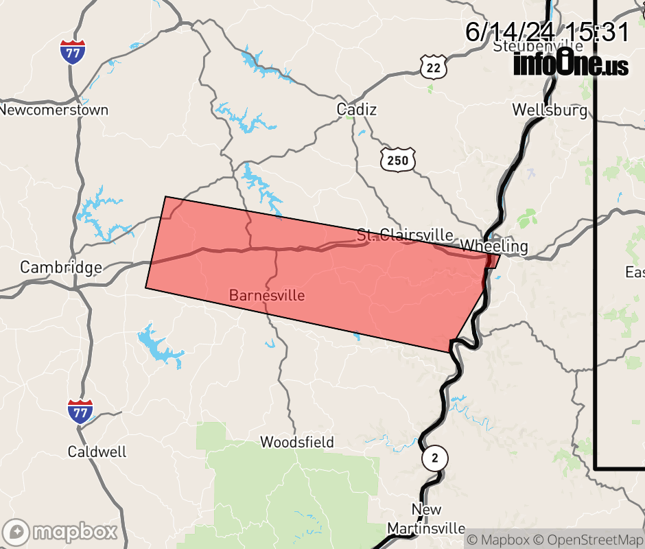 |
|||||||||
 Why aren't you using the InfoOne app? Why aren't you using the InfoOne app?
Stay abreast of information affecting your community! InfoOne tracks real-time information such as:
InfoOne currently supports over 100 communities in NC, VA and WV, and our coverage area is steadily growing. It's free! Install the InfoOne app today and see what you've been missing. |
|||||||||