|
|
Weather Alert |
| Columbiana County, OH | |||||||||
|
|
||||||||
|
Canceled 5/26/24 5:54 PM Severe Thunderstorm Warning issued May 26 at 5:35PM EDT until May 26 at 6:15PM EDT by NWS Pittsburgh PA SVRPBZ The National Weather Service in Pittsburgh has issued a * Severe Thunderstorm Warning for... Harrison County in east central Ohio... Western Columbiana County in east central Ohio... Guernsey County in east central Ohio... Southeastern Coshocton County in east central Ohio... Carroll County in east central Ohio... Northwestern Belmont County in east central Ohio... Tuscarawas County in east central Ohio... Northeastern Noble County in east central Ohio... * Until 615 PM EDT. * At 534 PM EDT, severe thunderstorms were located along a line extending from near West Lafayette to near Newcomerstown to 6 miles northeast of Byesville to 8 miles northeast of Caldwell, moving northeast at 45 mph. HAZARD...60 mph wind gusts. SOURCE...Police reported trees down in this line. IMPACT...Expect damage to trees and power lines, resulting in some power outages. * Locations impacted include... New Philadelphia, Dover, Uhrichsville, Barnesville, Cadiz, Carrollton, Freeport, Newcomerstown, Minerva, Dennison, Gnadenhutten, Bethesda, Antrim, Malvern, Tuscarawas, Hopedale, Flushing, Scio, Adena, and Midvale. This includes the following highways... Interstate 70 in Ohio between mile markers 182 and 211. Interstate 77 in Ohio between mile markers 50 and 85. 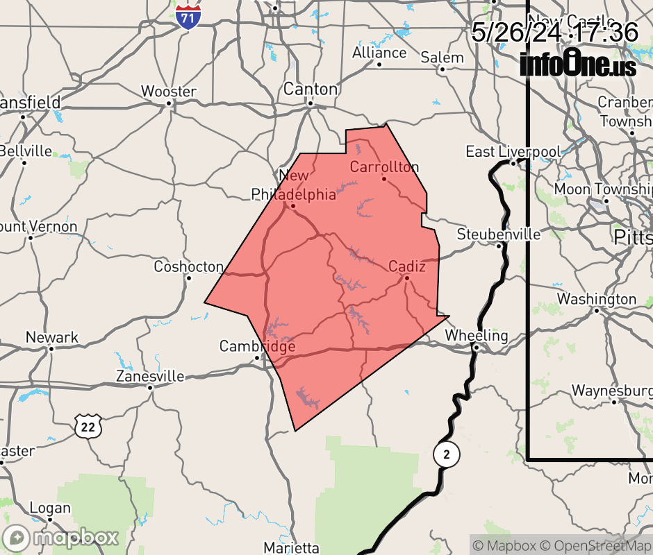 |
|||||||||
 Why aren't you using the InfoOne app? Why aren't you using the InfoOne app?
Stay abreast of information affecting your community! InfoOne tracks real-time information such as:
InfoOne currently supports over 100 communities in NC, VA and WV, and our coverage area is steadily growing. It's free! Install the InfoOne app today and see what you've been missing. |
|||||||||