|
|
Weather Alert |
| Lee County, VA | |||||||||
|
|
||||||||
|
Canceled 1/15/26 1:30 AM Special Weather Statement issued January 14 at 1:22PM EST by NWS Morristown TN A cold front will move across east Tennessee, southwest Virginia, and southwest North Carolina late this afternoon and evening bringing with it widespread precipitation and colder temperatures. A band of rain will move into the region then mix with and change over to snow showers during the evening. A brief period of accumulating snow is possible tonight before the main precipitation band exits across the Plateau and southwest Virginia, as well as portions of the northern and central valley in east Tennessee. In addition, a few snow showers and flurries will linger across these areas into Thursday morning. Snowfall of a dusting to 1/2 inch will be possible in some areas, with up to 1 inch across the highest ridge tops. Lingering moisture on roadways may also freeze in some spots later tonight, with patches of ice possible. Slick road conditions will be possible across portions of the area this evening into early Thursday. Stay tuned to NOAA Weather Radio and other local media for further details or updates. 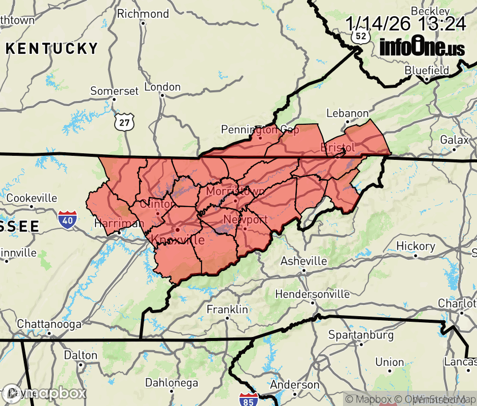 |
|||||||||
 Why aren't you using the InfoOne app? Why aren't you using the InfoOne app?
Stay abreast of information affecting your community! InfoOne tracks real-time information such as:
InfoOne currently supports over 100 communities in NC, VA and WV, and our coverage area is steadily growing. It's free! Install the InfoOne app today and see what you've been missing. |
|||||||||