|
|
Weather Alert |
| Granville County, NC | |||||||||
|
|
||||||||
|
Canceled 5/27/26 5:10 PM Severe Thunderstorm Warning issued May 27 at 4:35PM EDT until May 27 at 5:15PM EDT by NWS Raleigh NC SVRRAH The National Weather Service in Raleigh has issued a * Severe Thunderstorm Warning for... Person County in central North Carolina... Northwestern Vance County in central North Carolina... Northern Granville County in central North Carolina... * Until 515 PM EDT. * At 435 PM EDT, severe thunderstorms were located along a line extending from near Redoak to near Alton to near Quick, moving east at 30 mph. HAZARD...60 mph wind gusts and penny size hail. SOURCE...Radar indicated. IMPACT...Expect damage to roofs, siding, and trees. * Locations impacted include... Roxboro, Concord, Stovall, Bethel Hill, Bushy Fork, Hyco Lake, Tungsten, Mayo Reservoir, Hyco Marina, and Surl. 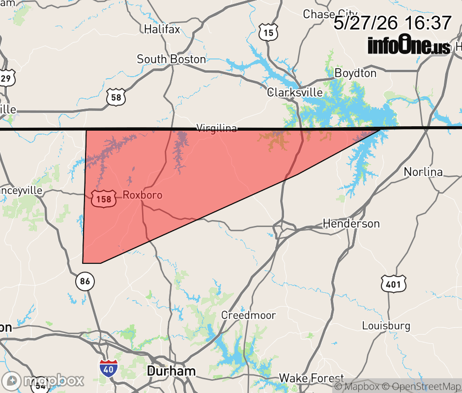 |
|||||||||
 Why aren't you using the InfoOne app? Why aren't you using the InfoOne app?
Stay abreast of information affecting your community! InfoOne tracks real-time information such as:
InfoOne currently supports over 100 communities in NC, VA and WV, and our coverage area is steadily growing. It's free! Install the InfoOne app today and see what you've been missing. |
|||||||||