
|
Weather Alert |
| Monroe County, OH | |||||||||
|
|
||||||||
|
Canceled 7/21/26 3:45 PM Severe Thunderstorm Warning issued July 21 at 2:59PM EDT until July 21 at 3:45PM EDT by NWS Pittsburgh PA SVRPBZ At 259 PM EDT, a severe thunderstorm was located 10 miles northwest of Caldwell, moving east at 50 mph. HAZARD...Golf ball size hail and 60 mph wind gusts. SOURCE...Radar indicated. IMPACT...People and animals outdoors will be injured. Expect hail damage to roofs, siding, windows, and vehicles. Expect wind damage to roofs, siding, and trees. Locations impacted include... Woodsfield, Caldwell, Dudley, Pleasant City, Beallsville, Cumberland, Summerfield, Belle Valley, Lewisville, Sarahsville, Jerusalem, Dexter City, Wilson, High Hill, Antioch, Stafford, Graysville, Harriettsville, Miltonsburg and Seneca Lake Park. 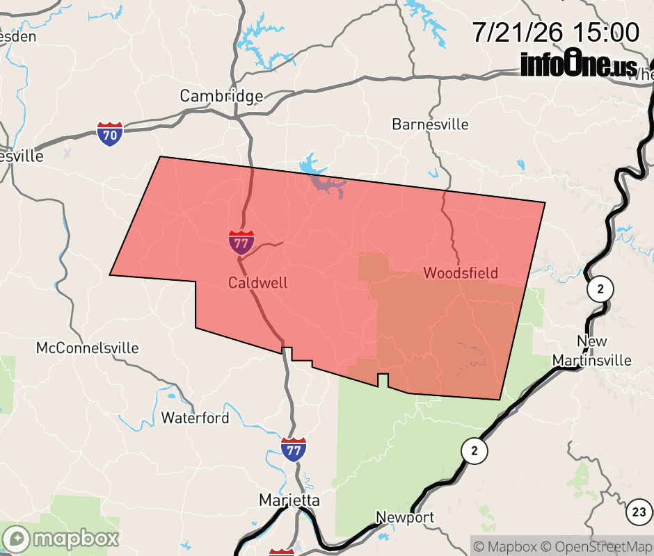 |
|||||||||
 Why aren't you using the InfoOne app? Why aren't you using the InfoOne app?
Stay abreast of information affecting your community! InfoOne tracks real-time information such as:
InfoOne currently supports over 100 communities in NC, VA and WV, and our coverage area is steadily growing. It's free! Install the InfoOne app today and see what you've been missing. |
|||||||||