|
|
Weather Alert |
| Webster County, WV | |||||||||
|
|
||||||||
|
Canceled 6/10/26 11:45 PM Special Weather Statement issued June 10 at 11:16PM EDT by NWS Charleston WV At 1116 PM EDT, Doppler radar was tracking a cluster of strong thunderstorms 8 miles southwest of Mill Creek, or 20 miles northeast of Webster Springs, moving east at 25 mph. HAZARD...Wind gusts up to 50 mph. SOURCE...Radar indicated. IMPACT...Gusty winds could knock down tree limbs and blow around unsecured objects. Locations impacted include... Elkins, Buckhannon, Marlinton, Webster Springs, Cass Scenic Railroad, Green Bank, Addison (Webster Springs), Mill Creek, Snowshoe, Dailey, Holly River State Park, Rock Cave, Mingo, Beverly, Durbin, Flatwoods, Womelsdorf (Coalton), Huttonsville, Cheat Bridge, and Arbovale. This includes the following highways... Interstate 79 between mile markers 65 and 73. Route 33 between mile markers 1 and 16. 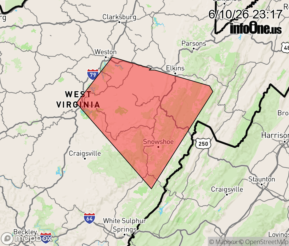 |
|||||||||
 Why aren't you using the InfoOne app? Why aren't you using the InfoOne app?
Stay abreast of information affecting your community! InfoOne tracks real-time information such as:
InfoOne currently supports over 100 communities in NC, VA and WV, and our coverage area is steadily growing. It's free! Install the InfoOne app today and see what you've been missing. |
|||||||||