|
|
Weather Alert |
| Scioto County, OH | |||||||||
|
|
||||||||
|
Canceled 6/14/26 6:15 PM Special Weather Statement issued June 14 at 5:41PM EDT by NWS Wilmington OH At 541 PM EDT, strong thunderstorms were located along a line extending from 10 miles east of Peebles to Mount Olivet, moving east at 25 mph. HAZARD...Wind gusts up to 40 mph. SOURCE...Radar indicated. IMPACT...Gusty winds could knock down tree limbs and blow around unsecured objects. Locations impacted include... Portsmouth, Maysville, New Boston, Manchester, Vanceburg, Lewisburg, Rosemount, Clarktown, Rome, Lucasville, Tollesboro, Blue Creek, Rarden, Otway, Concord, Trinity, Saint Paul, Burika, Mays Lick, and Kinniconick. If outdoors, consider seeking shelter inside a sturdy building. A Severe Thunderstorm Watch remains in effect until 900 PM EDT for south central and southwestern Ohio. To report hazardous weather conditions, go to our website at weather.gov/iln and submit your report via social media, when you can do so safely. 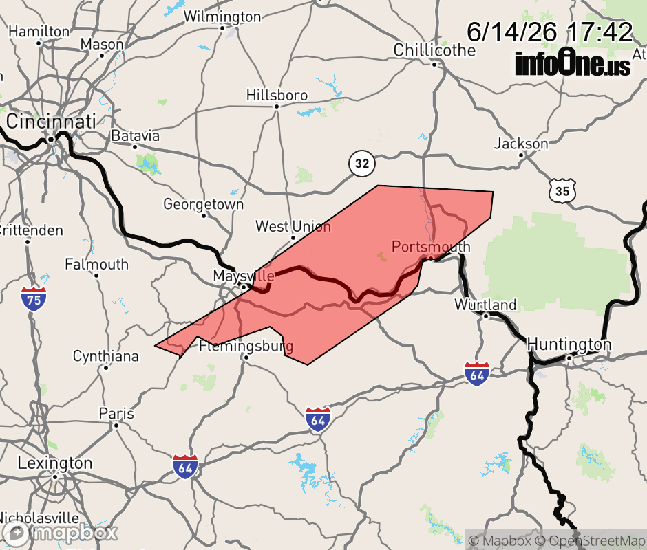 |
|||||||||
 Why aren't you using the InfoOne app? Why aren't you using the InfoOne app?
Stay abreast of information affecting your community! InfoOne tracks real-time information such as:
InfoOne currently supports over 100 communities in NC, VA and WV, and our coverage area is steadily growing. It's free! Install the InfoOne app today and see what you've been missing. |
|||||||||