
|
Weather Alert |
| Monroe County, OH | |||||||||
|
|
||||||||
|
Canceled 7/21/26 4:06 PM Tornado Warning issued July 21 at 3:55PM EDT until July 21 at 4:15PM EDT by NWS Pittsburgh PA At 355 PM EDT, a severe thunderstorm capable of producing a significant tornado was located 13 miles south of Woodsfield, or 13 miles southwest of New Martinsville, moving southeast at 45 mph. This is a PARTICULARLY DANGEROUS SITUATION. TAKE COVER NOW! HAZARD...Damaging tornado and ping pong ball size hail. SOURCE...Radar indicated rotation. IMPACT...You are in a life-threatening situation. Flying debris may be deadly to those caught without shelter. Mobile homes will be destroyed. Considerable damage to homes, businesses, and vehicles is likely and complete destruction is possible. Locations impacted include... Fly and Rinard Mills. 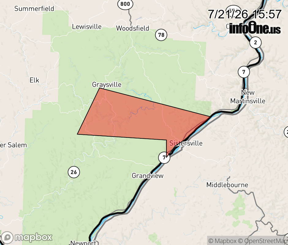 |
|||||||||
 Why aren't you using the InfoOne app? Why aren't you using the InfoOne app?
Stay abreast of information affecting your community! InfoOne tracks real-time information such as:
InfoOne currently supports over 100 communities in NC, VA and WV, and our coverage area is steadily growing. It's free! Install the InfoOne app today and see what you've been missing. |
|||||||||