
|
Weather Alert |
| Charlottesville City, VA | |||||||||
|
|
||||||||
|
Canceled 8/14/26 5:45 PM Severe Thunderstorm Warning issued August 14 at 5:34PM EDT until August 14 at 5:45PM EDT by NWS Baltimore MD/Washington DC At 534 PM EDT, a severe thunderstorm was located near Charlottesville, moving southeast at 25 mph. HAZARD...Golf ball size hail and 70 mph wind gusts. SOURCE...Radar indicated. IMPACT...Expect wind damage to trees and power lines. Hail is large enough to dent and damage vehicles. Some hail damage to roofs, siding, and windows is possible. Locations impacted include... Charlottesville, Free Union, Westmoreland, Hollymead, Newcomb Hall, Monticello, Stony Point, Flordon, Carrsbrook, Earlysville, Shadwell, Barracks, Overton, and Scott Stadium. 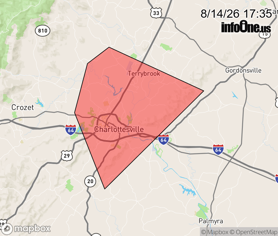 |
|||||||||
 Why aren't you using the InfoOne app? Why aren't you using the InfoOne app?
Stay abreast of information affecting your community! InfoOne tracks real-time information such as:
InfoOne currently supports over 100 communities in NC, VA and WV, and our coverage area is steadily growing. It's free! Install the InfoOne app today and see what you've been missing. |
|||||||||